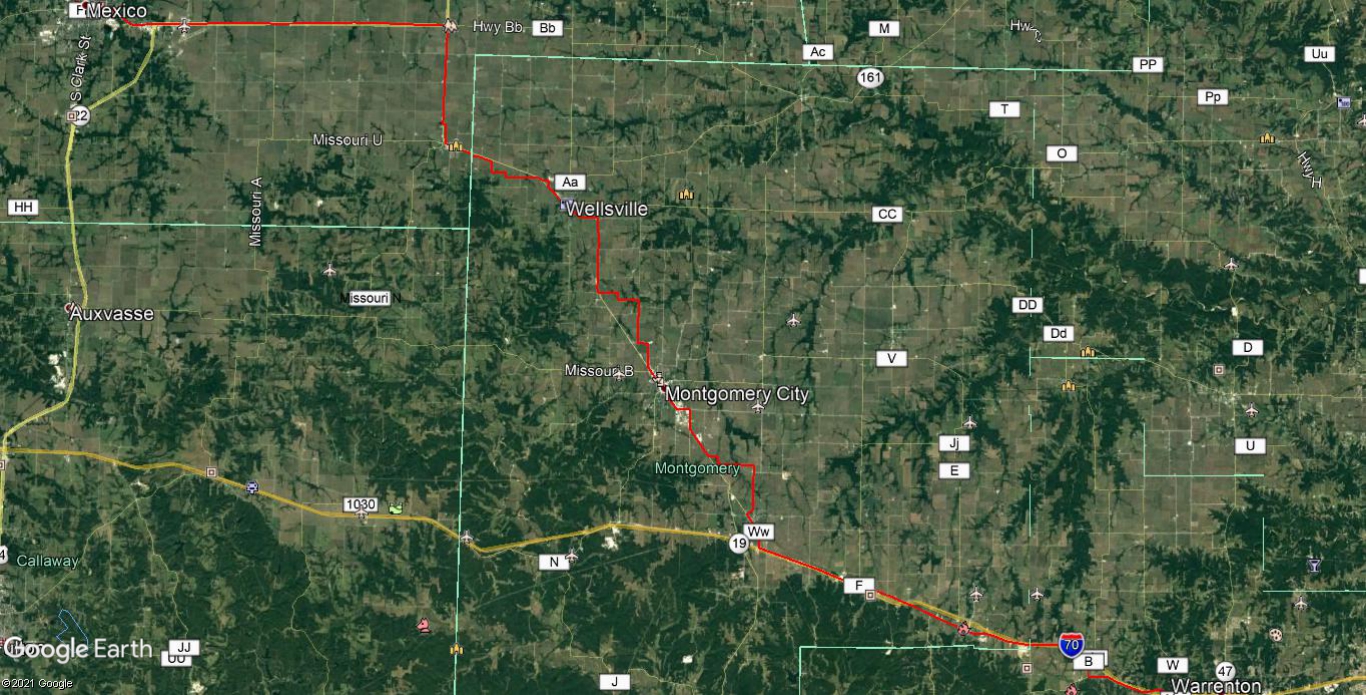
The North Missouri Cross State Highway - Part 12
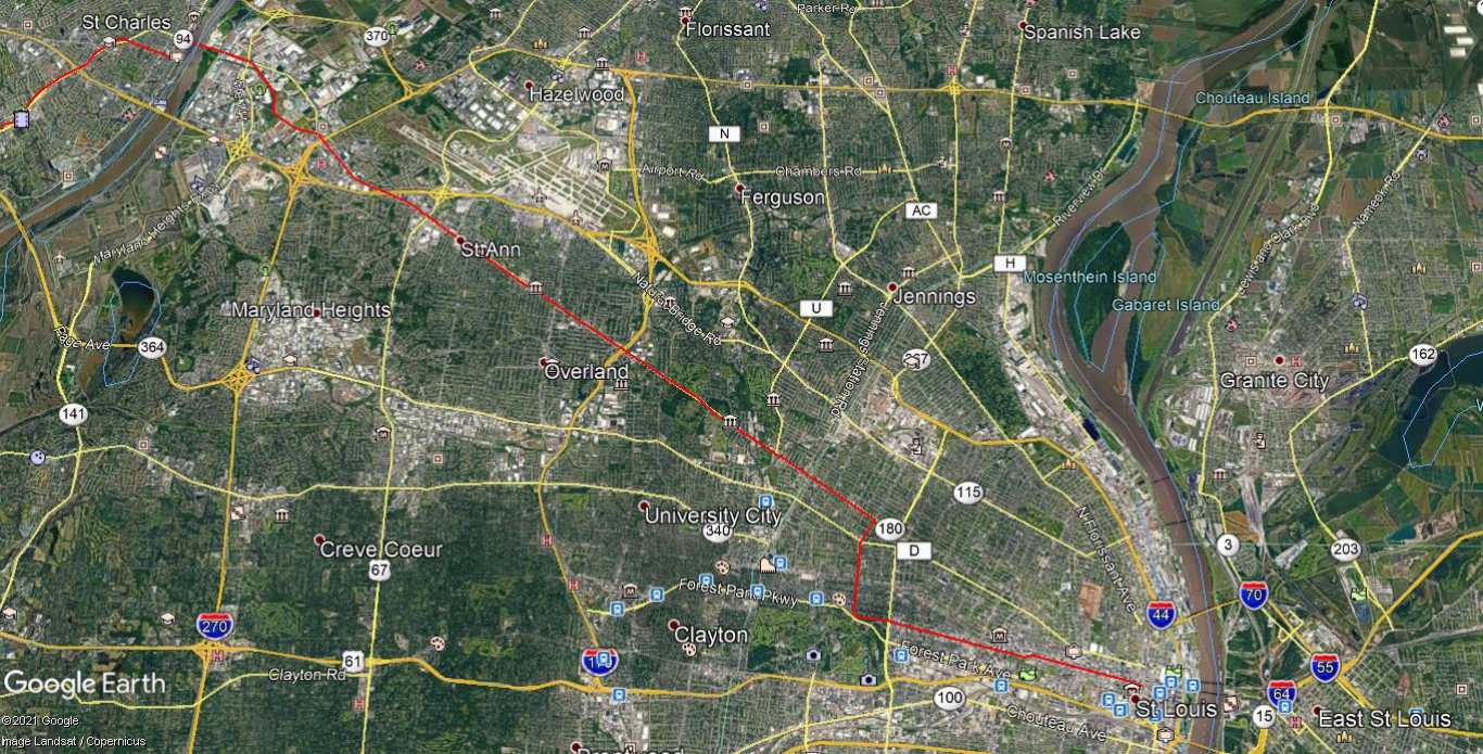
The North Missouri Cross State Highway Missouri's forgotten early 20th century autotrail. By Route66Fan Information is from Volume 5 of the 1918 Official Automobile Blue Book. Satellite images courtesy of Google Maps. Part 12 - St. Charles, MO to St. Louis, MO. Leaving St. Charles, MO, the autotrail follows St. Charles Rock Rd (MO 180) & Old St. Charles Rock Rd, as well as Union Blvd, Lindell Blvd & Locust St, ending at N. Tucker Blvd. End of autotrail.