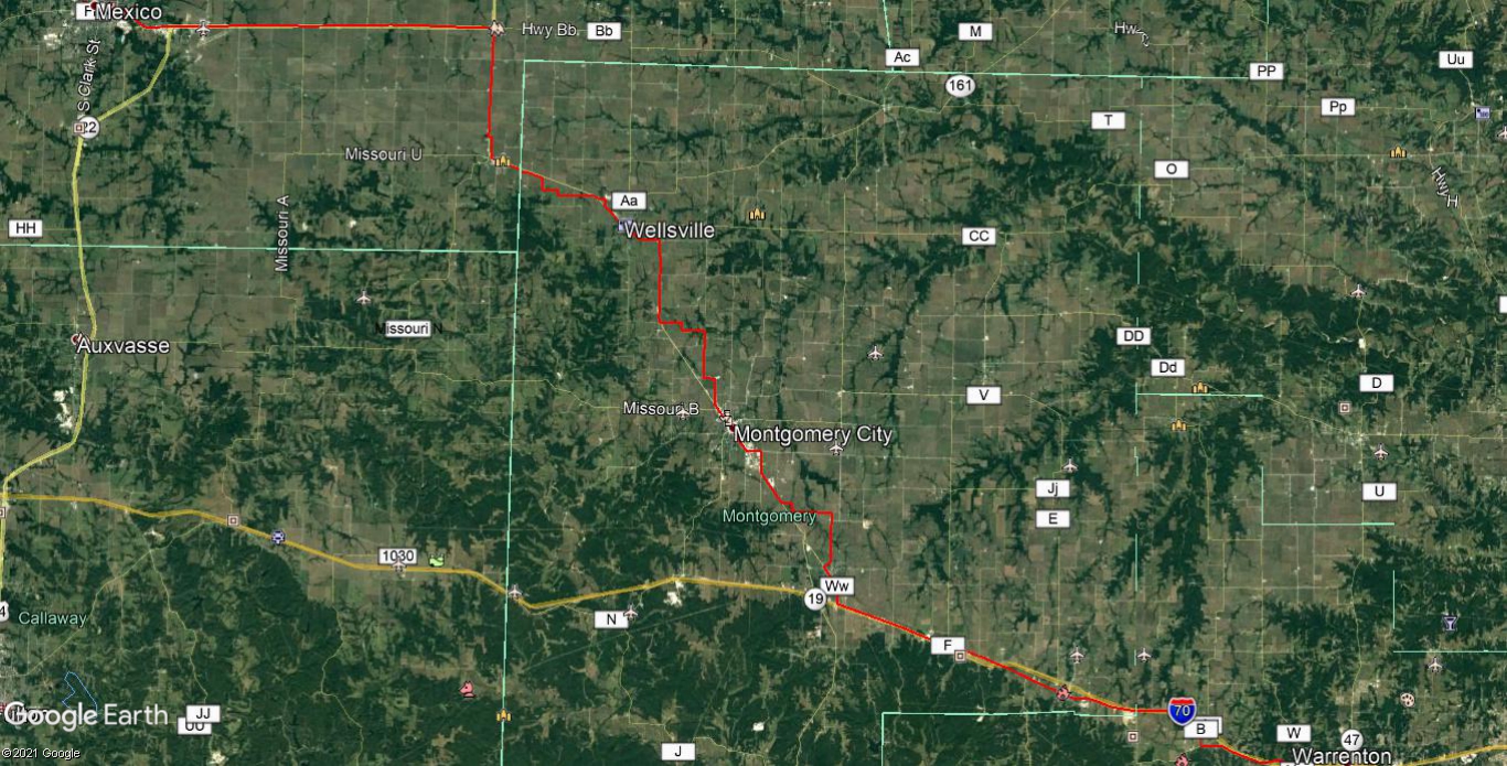
The North Missouri Cross State Highway - Part 4
The North Missouri Cross State Highway
Missouri's forgotten early 20th century autotrail.
By Route66Fan
Information
is from Volume 5 of the 1918 Official Automobile Blue Book (Unless
where noted.), the Kansas City Star & the Chariton Courier
(Keytesville, MO).
Satellite images courtesy of Google Maps.
Part 4 - Carrollton, MO to Waverly, MO (Connector route.).
This route, while not directly being a portion of the North Missouri Cross State Highway, was described as being a connector route between the NMCSH, at Carrollton, MO & the National Old Trails Road, at Waverly, MO. This route mostly follows US 65 & 24, as well as, S. Main St (In Carrollton, MO.), CR 403, CR 432, CR 508, an unnamed levee road & Main St. (In Waverly, MO.).
At Waverly, MO, the autotrail crossed the Missouri River on a ferry that remained in operation until 1925, when the old Waverly, MO bridge opened & then continued into town on Main St.


Comments
Post a Comment